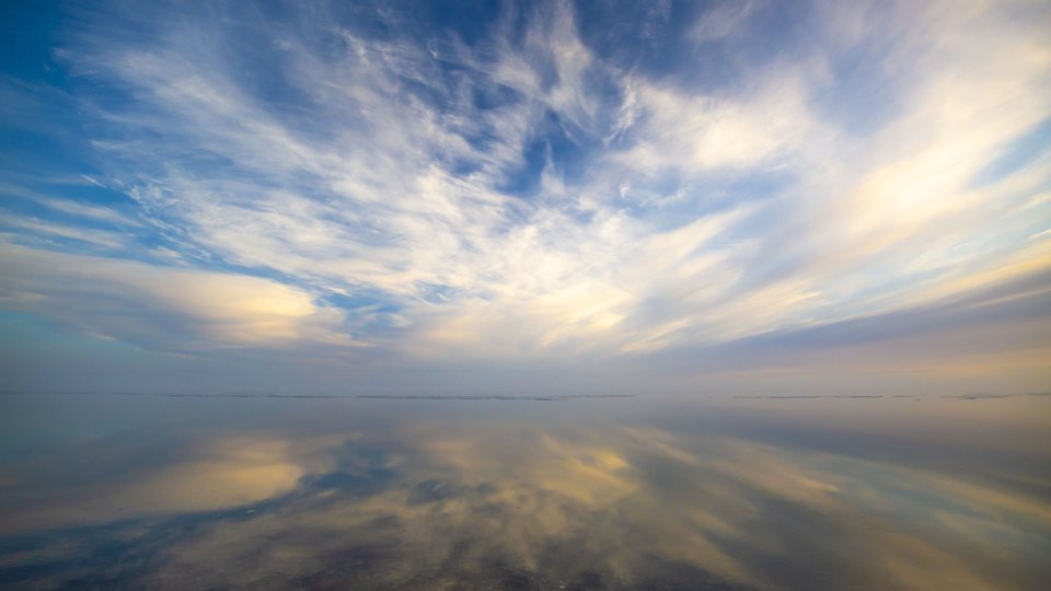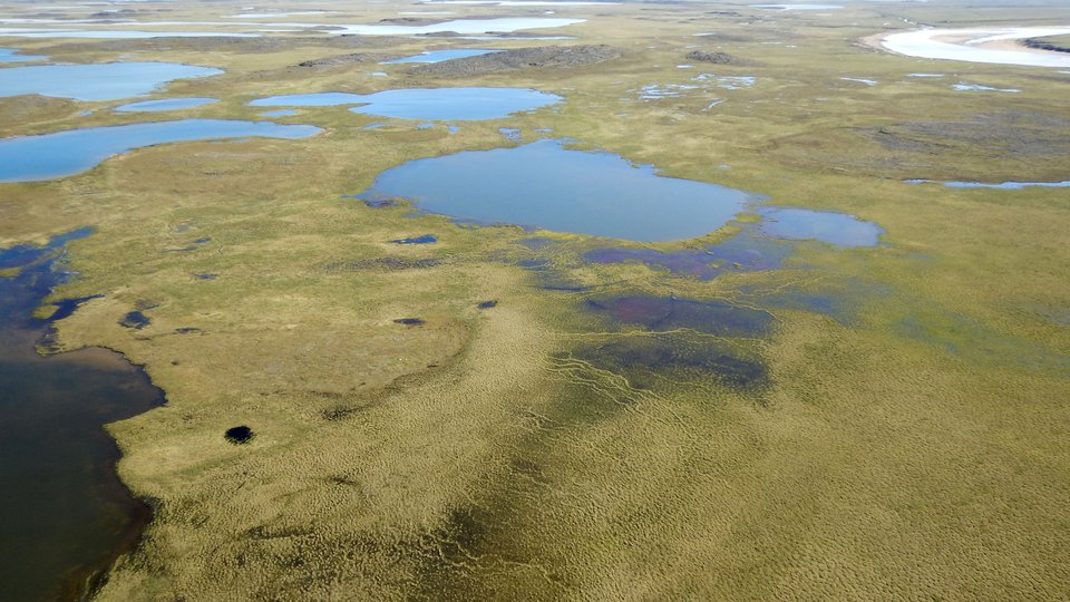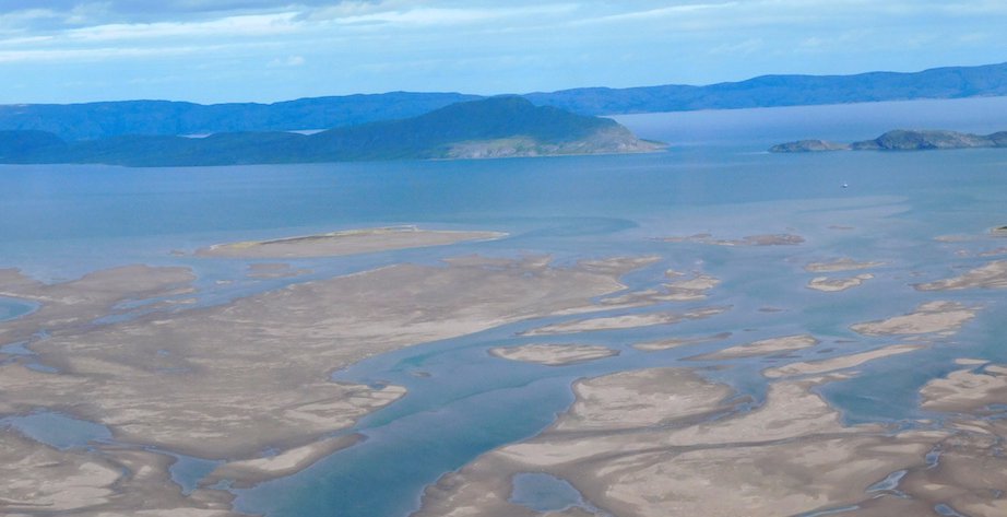
t has become evident that almost everything that happens in the Arctic Ocean is constrained by the inputs and disposition of fresh water. Most attention over the past three decades has been on the big rivers, such as the Mackenzie, Ob, Lena and Yenisei, because of their influence of the global thermohaline circulation and basin-wide effects on primary production. These big systems deliver average flows between 10,000 to 20,000 cubic meters per second! But, technically, these large systems are not really Arctic rivers, because they capture most of their discharge from rainfall south of the Arctic Circle. So, what do we know about the effects of the hundreds and thousands of little rivers? Answer: very little. Do they have a story to tell? Answer: almost certainly!
It is the little (true) Arctic rivers, trickling across and trough the high treeline, tundra and rocky shore lines that will carry the biogeochemical fingerprints of their regional landscape. Rapid change in the Arctic has increased the importance of physical and chemical interactions that occur between terrestrial and marine systems, including the effects of retreating terrestrial ice, thawing permafrost, and altered seasonality, thus leading to oceanic delivery of terrestrial organic compounds and essential nutrients. So, let’s just accept that the little rivers carry site specific signals of their watersheds, and see where this takes us.
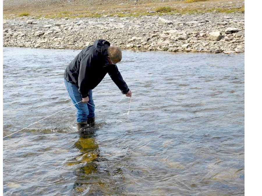
Shawn Marriott, carefully timed by Bodil Bluhm and watched by Erin Hamilton, prepares to toss the brine. Photo by Eddy Carmack.
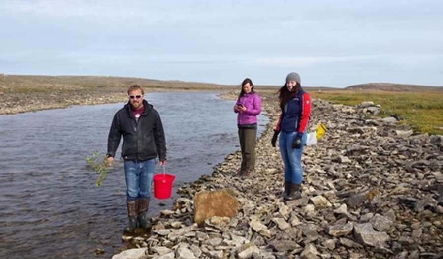
Right off the bat however, we run into a massive data hole. Information on the fundamental river metric, streamflow, especially the annual streamflow pattern, is almost totally absent. There is a reason, of course; river gauging is quite expensive and logistically challenging. And, compared to the thousands of cubic meters per second flows of the big rivers, we need to look at systems in the 0.1 to 10 cubic meters per second discharge range. So, we decided to test a method that is cheap, fast and simple, and which gives data that still meets the Water Survey of Canada standard of being with 5% of true flow. This method – called ‘salt dilution’ – involves dissolving a kilogram of table salt in six liters of water, tossing the brine into a stream, and recording the passage of the ‘salt wave’ salinity signal about 100 m downstream. The amount of dilution that occurs allows one to calculate the streamflow with a simple algebraic equation.

Kristina Brown and Seth Danielson wait downstream with two different CTDs to record the arrival and passage of the salt wave. Photo by Eddy Carmack.
Not only that, the method is fun, so six of us (Kristina, Seth, Shaun, Erin, Bodil, Peter and myself) pile into ARF’s faithful truck, drive up the creek empting into Cambridge Bay, and give it a try. (Before even starting, however, we formed a pool: we all chipped in a buck and ‘guessed’ at the flow we were looking at, with the winner to take all.) The photos below show the team in action: First, Shawn Marriott, carefully timed by Bodil Bluhm and watched by Erin Hamilton, prepares to toss the brine; second, Kristina Brown and Seth Danielson wait 160 meters downstream with two different CTDs to record the arrival and passage of the salt wave; third, Shawn decides to double check the method with velocity measurements using a small, hand held current meter.
Shawn decides to double check the method with velocity measurements using a small, hand held current meter. Photo by Eddy Carmack.
We will evaluate results later, but if this works, we have a neat tool to do real (and economical) regional/seasonal hydrological assessment of the streams that couple the land to the sea. A science plan/proposal is currently being discussed.
Eddy Carmack is a Senior Research Scientist Emeritus for the Department of Fisheries and Oceans at the Institute of Ocean Sciences in Sidney, British Columbia. His research involves relationships between oceanography, climate and marine ecosystems. Over his 50 year career he has participated in over 90 field investigations in high-latitude rivers, lakes and seas spanning from the Antarctic to the Arctic and from the Yukon to Siberia. From this he has published over 200 peer-reviewed scientific articles, over 70% of which contain ‘original’ data.