I spent my summer searching for arctic spirits: barren-ground caribou who are, somehow, both omnipresent and elusive.
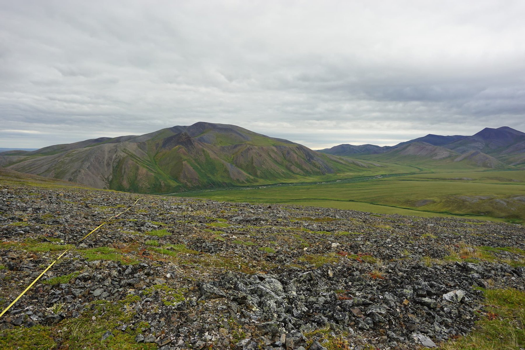
My journey, it turns out, would trace the migration route of the Porcupine caribou herd, linking boreal forest and arctic tundra ecosystems unlike any other northern mammal. The wild landscape I traveled forms the northern extent of the North American Cordillera, one of the last intact mountain ecosystems on Earth.
As I prepared, gathering groceries and loading the truck with scientific equipment and camping supplies, I heard whispers of the entire Porcupine herd moving southeast through the Richardson Mountains. Our small research team drove hurriedly north – hoping for a (figurative) collision course with hundreds of thousands of caribou at the Yukon/Northwest Territories border.
Anticipation ran high, but the border was eerily quiet. A gentle breeze blew and the sun shone through thin clouds. We climbed mountain after mountain, rocks clattering underfoot, to scan the horizon. Looking, hoping, wishing, we even tried to conjure up caribou in our minds to fill the vacant tundra. But the landscape remained still and the disappointment palpable.
We sampled vegetation and drove on.
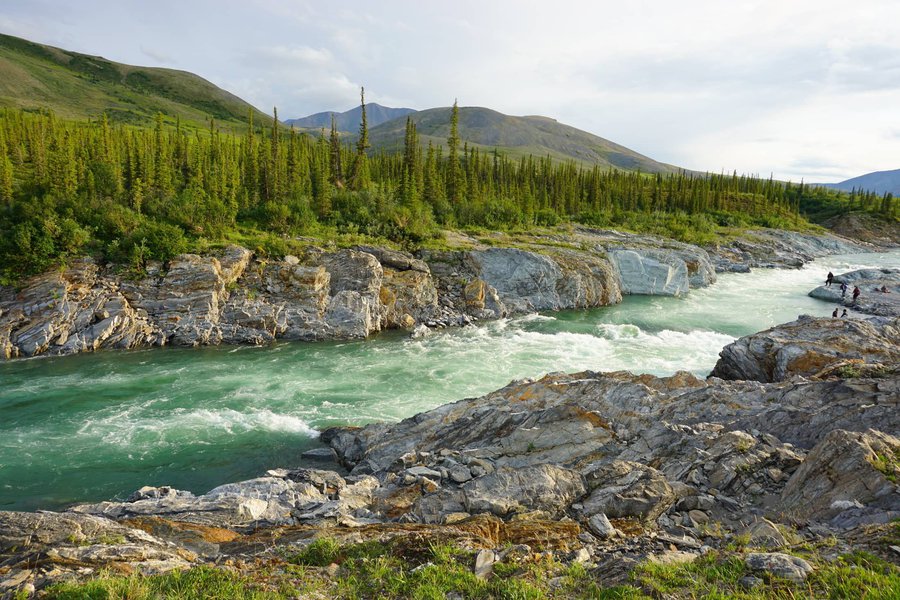
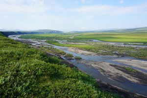
The Firth River is a formidable obstacle for Porcupine caribou on their yearly migration. Photo: Katie Orndahl
At Imniarvik Base Camp we missed the herd again. Just a few weeks before, the rocky benches above Sheep Creek in Ivvavik National Park had swelled with thousands of caribou. The pulsing mass filled the spaces between spruce trees, blending together first as life personified, and then in death as the roaring Firth River canyon claimed frenzied victims attempting to cross.
Although no longer near, the caribou had made their presence clear – tracks, hair, droppings and browsed willows everywhere we looked. And this, it turns out, was the point. It is hard to be convinced of things we cannot see. As scientists it is our duty to make these things more tangible.

We felt the Porcupine herd’s presence in the things they left behind: tracks, dung, bones, antlers, hair, and signs of browse. Photo credits: Katie Orndahl and Aerin Jacob
I am a PhD student at Northern Arizona University. My collaborators and I study how millions of migrating caribou interact with their environment: the habitat selection choices the caribou make, as well as the impacts they impart on the landscape. We are particularly interested in how these interactions fit into a complicated web of processes: climate warming, carbon cycling, wildfire and vegetation change. We hope by including caribou we can “animate the carbon cycle” and fill in gaps in scientific understanding about climate change in the Arctic.
This brought me to the Canadian Arctic.
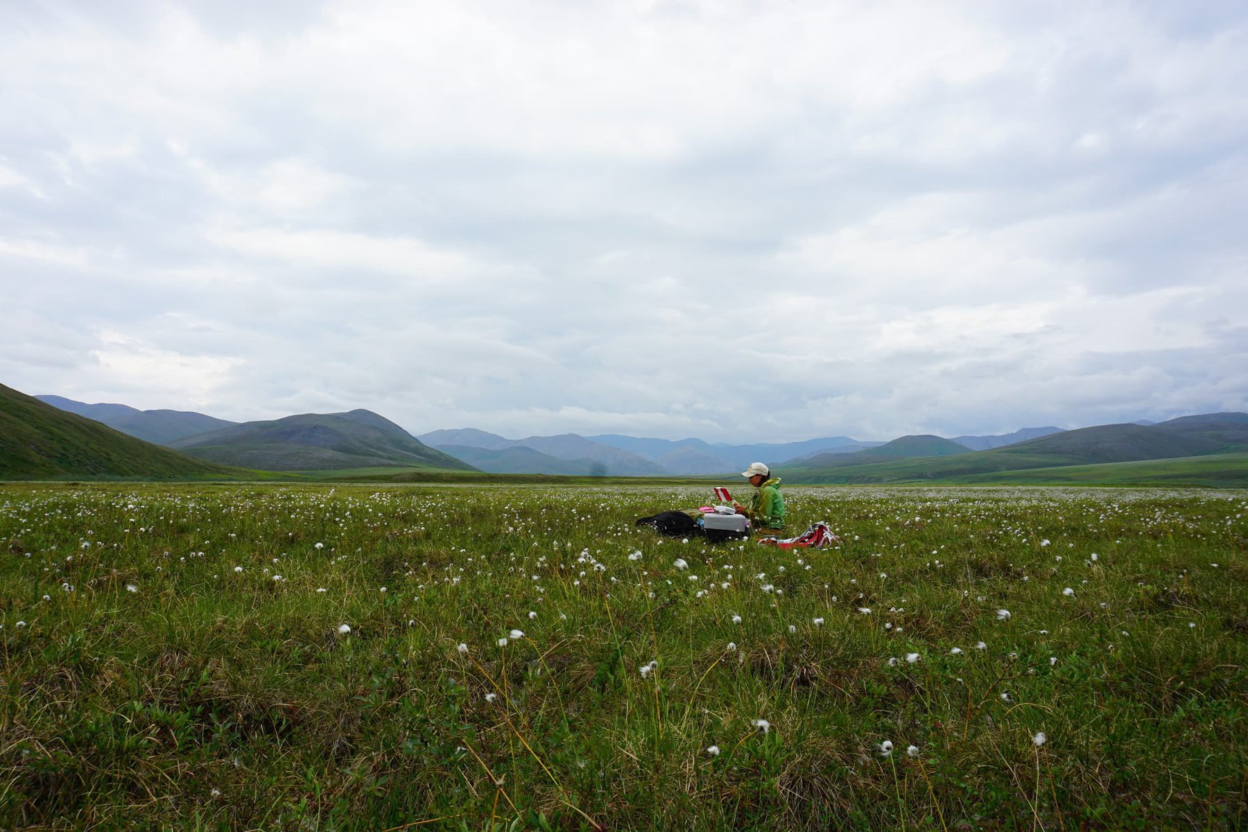
Fieldwork helps us map above-ground biomass of different types of plants in Alaska and northwest Canada. We identify species of shrubs, flowering plants, lichens and grasses/sedges, estimate the amount of ground they cover, measure their heights, and harvest them to weigh in the laboratory. This gives us closest to true estimates of how much plant matter (caribou food) exists in each place.
However, these measurements are small points on a large landscape. I am particularly excited about new technology that can help us map plant matter (“above-ground biomass”) across the entire region. This means future researchers can choose anywhere on a map and understand how much caribou food exists there. And, what’s more, we can link these maps with GPS data from the movements of collared caribou to understand the relationship between caribou density and on the ground vegetation.
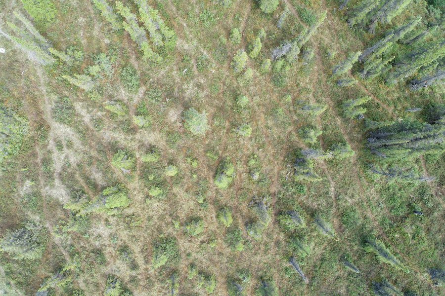
The drone picked up signs of caribou, too. This drone image shows caribou trails weaving through spruce near Sheep Creek in Ivvavik National Park. Photo: Katie Orndahl
For this reason, at each location where we sample vegetation, we also use a drone to collect super high resolution photographs. Not only are these images beautiful, but they also act as a bridge between fine-scale field data and satellite images that cover the whole globe, but contain less detail. We hope drone images might also make future vegetation surveys more efficient.
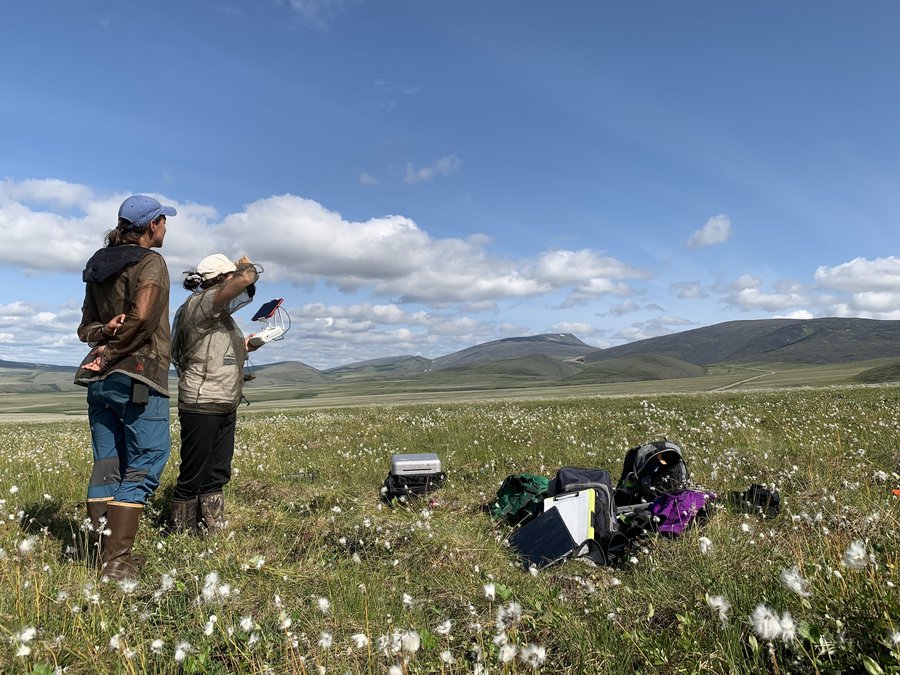
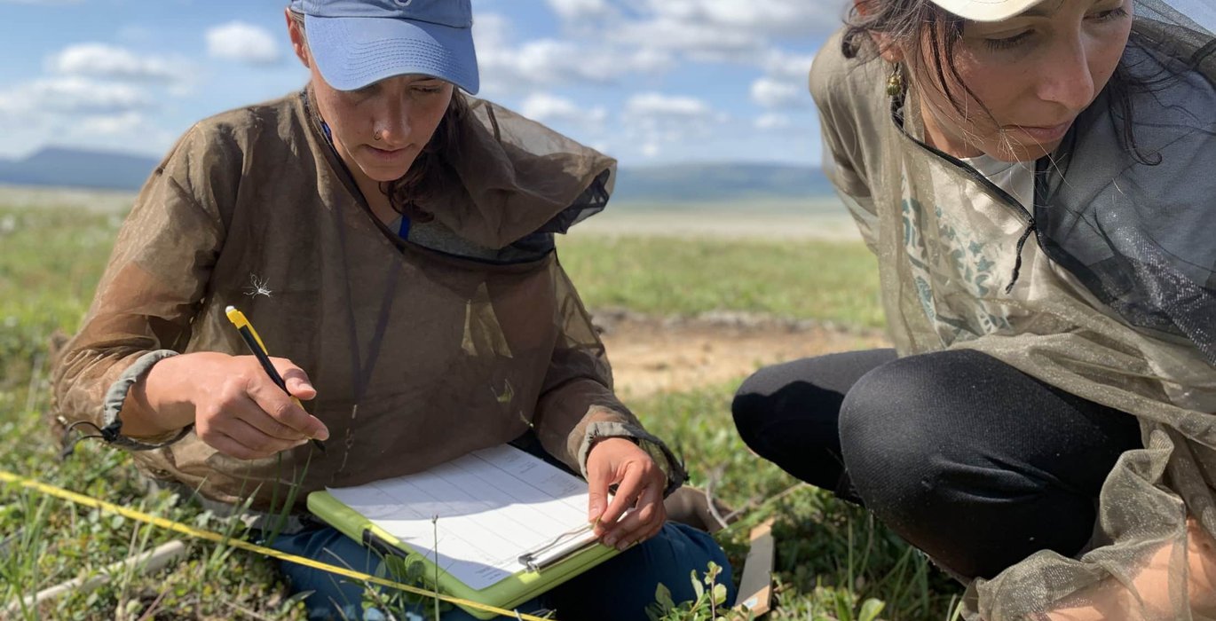
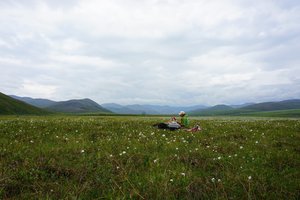
Using an iPad, Katie (left) and Rachel (right) monitor the drone as it completes its flight in a cottongrass tundra. Photo: Aerin Jacob
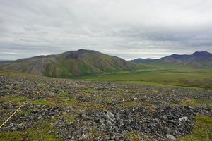
This summer, we sampled cottongrass tundra as fluffs of wind dispersed seeds floated by, tall willow thickets that bruised our shins and hummed with mosquitoes, and barren ridgelines with little but lichen and resilient dwarf shrubs. Caribou use many different habitats—from the boreal forests of central Alaska to the flat plains of the Yukon North Slope—and our field sites reflect this variety.
At each site, the drone buzzed overhead on a pre-programmed flight, taking detailed photos I’ll use to classify plant cover and create 3D models of vegetation and topography.
Meanwhile, we scurried about on the ground, getting our hands dirty measuring vegetation cover and height, then meticulously harvesting and bagging vegetation.

At each site, I thought about caribou.
Eventually, the midnight sun started dipping below the horizon and the arctic summer sputtered out. As I made the long drive back to Fairbanks, I finally stopped obsessing about finding the caribou. Only then did they appear.
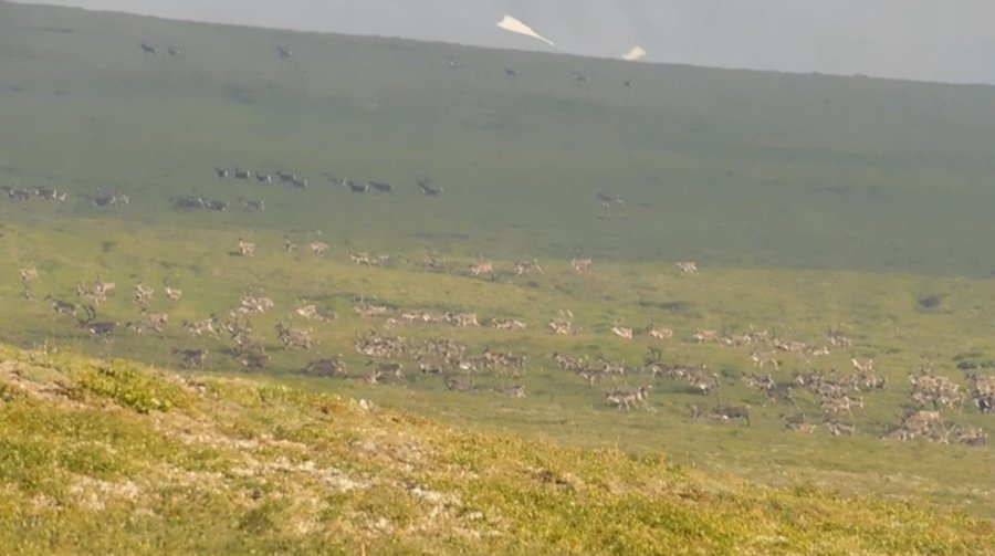
Hundreds of caribou flee pursuing wolves near the Yukon/Northwest Territory border. Photo: Laurence Carter
We crawled out of our tents early one morning to see 100 or so caribou nearby. Steaming coffee in hand, our field team watched as the animals we had talked and dreamed about for months grazed peacefully. A sharp intake of break broke the silence. My colleague pointed into the distance as two small white dots appeared beside the unsuspecting caribou. Moving slowly at first, the wolves broke into a sprint and chased the caribou across the tundra. Kicking up their long legs, the caribou sped away in unison – up a ridge and through a saddle to the other side of the mountains. Defeated, the wolves slowed to a stop and slumped into the grass. This time, caribou won.
Our summer unfolded like a game of hide-and-seek. We found caribou in intricate tracks woven across the landscape, in bits of hair left behind in birch boughs and in willows stripped bare. We found caribou in satiated grizzly bears that gained strength from the unlucky few washed ashore on the Firth River banks. We found caribou in our data which will help us understand how they interact with the changing arctic environment. And finally, we found caribou in the flesh, outrunning two wolves, where the Yukon and Northwest Territories meet.
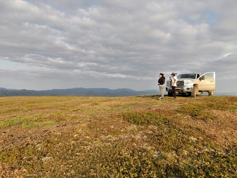
Rachel (left) and Kayla Arey (right) soak in our first caribou sighting as summer winds down in the Arctic. Photo: Laurence Carter
This article was originally published on Nasa Blogs.